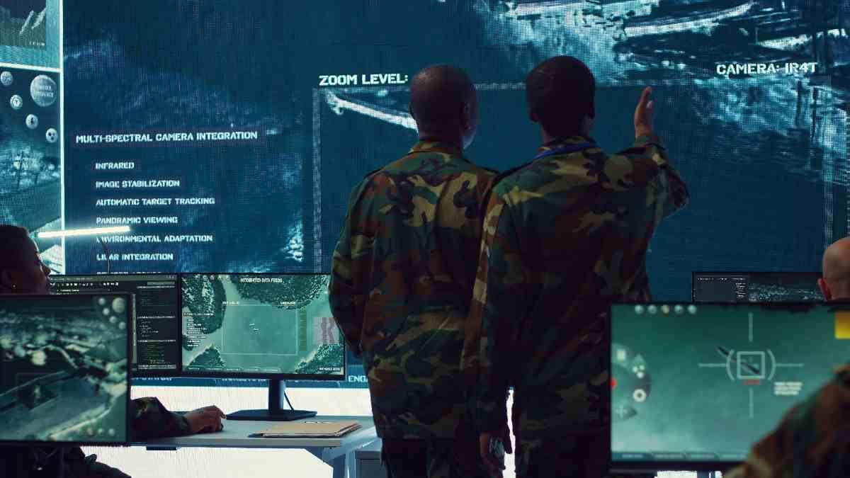
National Defense Commands
A single operational picture across air, maritime, and ground forces for theater-wide decisions.
Solutions · Unified Command & Control
Neuronix C4I turns fragmented operational data into actionable intelligence and a unified command picture. It connects situational awareness, mission planning, intelligence, and command workflows to help commanders make faster, more informed decisions.
What is C4I
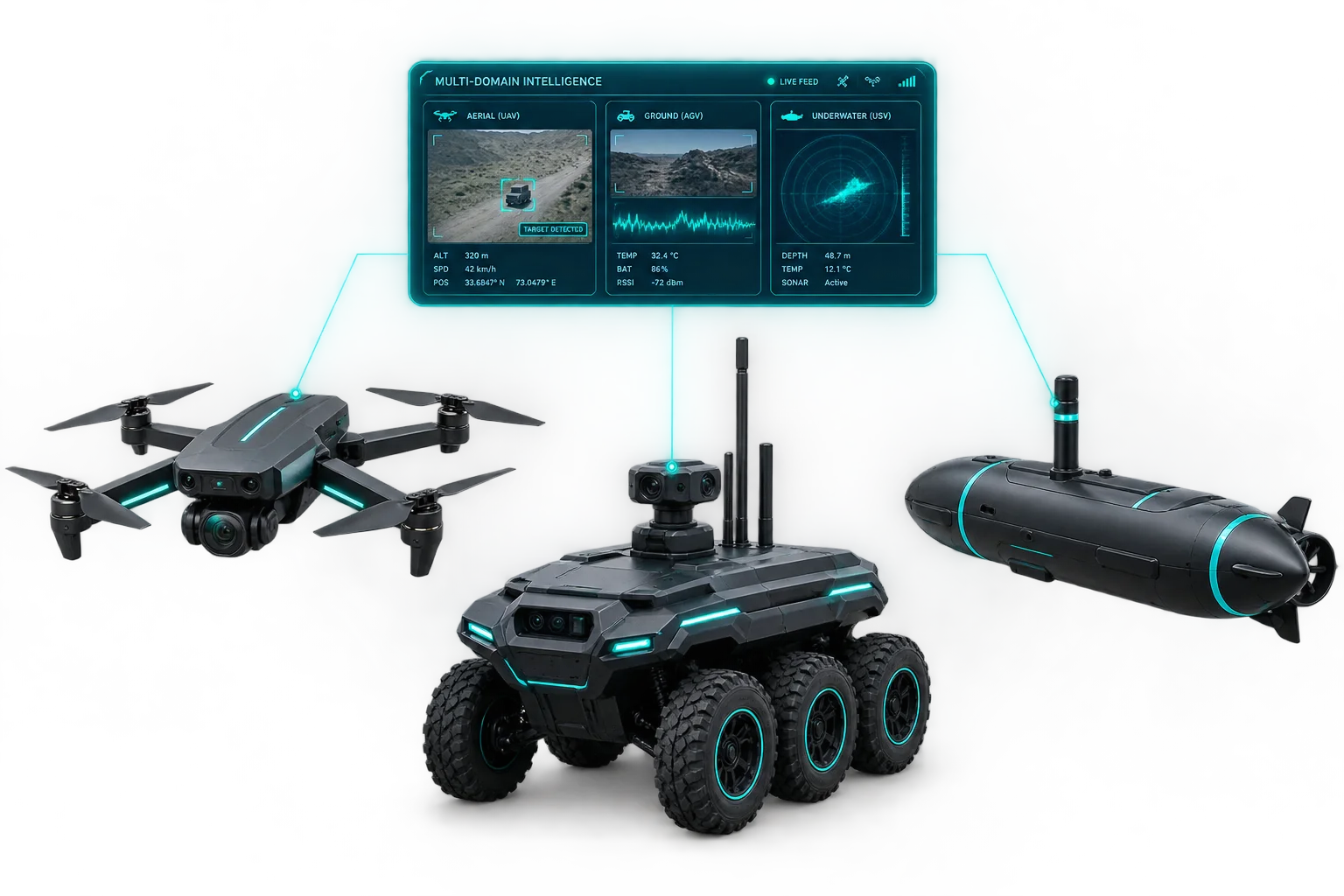
A sensor tells you what it sees. It doesn't tell you what the ground unit two kilometers away is seeing, or what any of it adds up to. That correlation work has always fallen to an analyst piecing feeds together by hand, right when speed matters most. Neuronix C4I does that fusion automatically.
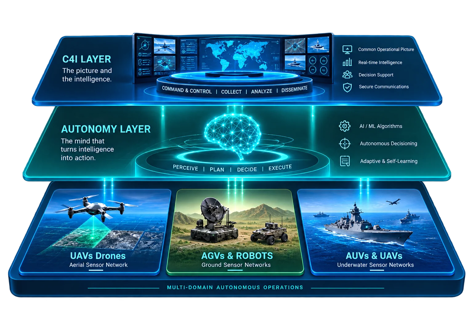
Operational Flow
UAV, ground, naval, and allied feeds all report into one intake layer.
AI automatically detects, tracks, and identifies, replacing hours of manual review.
Structured evaluation ranks every threat, surfacing what needs a decision first.
Missions get planned, assets tasked, and every action securely logged.
Key Capabilities
A unified, real-time air, maritime, and ground picture built from every connected sensor and asset.
Automated detection, tracking, and identification that speeds up analyst response instead of replacing it.
Track platforms, assets, and intelligence products across the force from one management layer.
Plan missions and task sensors or platforms directly from live intelligence priorities, not a separate system.
Structured threat assessment support that helps commanders prioritize what needs a decision first.
Every session and product is recorded and distributed only to authorized users, with a full audit trail.
A platform that can't talk to what's already in place isn't a capability. It's a second system to maintain.
Neuronix C4I connects to the command, control, and communications infrastructure a force already operates. Adding a capability beats starting over.
Solution Use Cases
Purpose-built for the operational realities and compliance demands of each industry.
A single operational picture across air, maritime, and ground forces for theater-wide decisions.
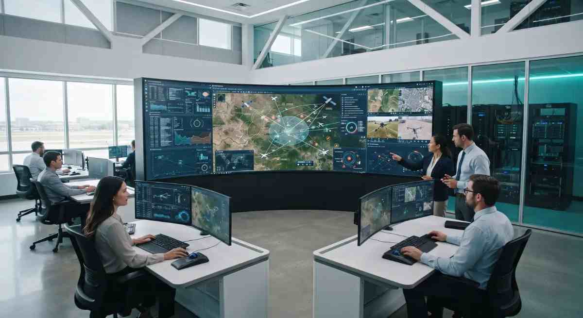
Coordinate across service branches from one shared view instead of reconciling separate ones.
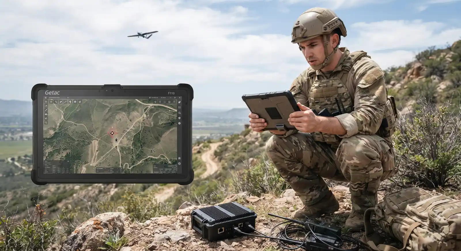
Fuse ground sensor and aerial ISR feeds into one continuous picture along contested stretches.
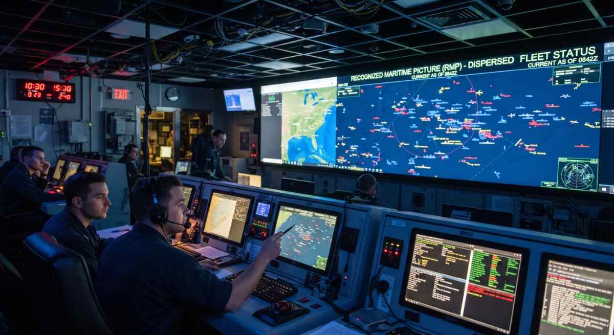
Maintain a Recognized Maritime Picture that stays current across a dispersed fleet.

Share a common picture with partner forces without forcing a shared platform.

Bring multiple agencies onto one operational view during cross-agency response.